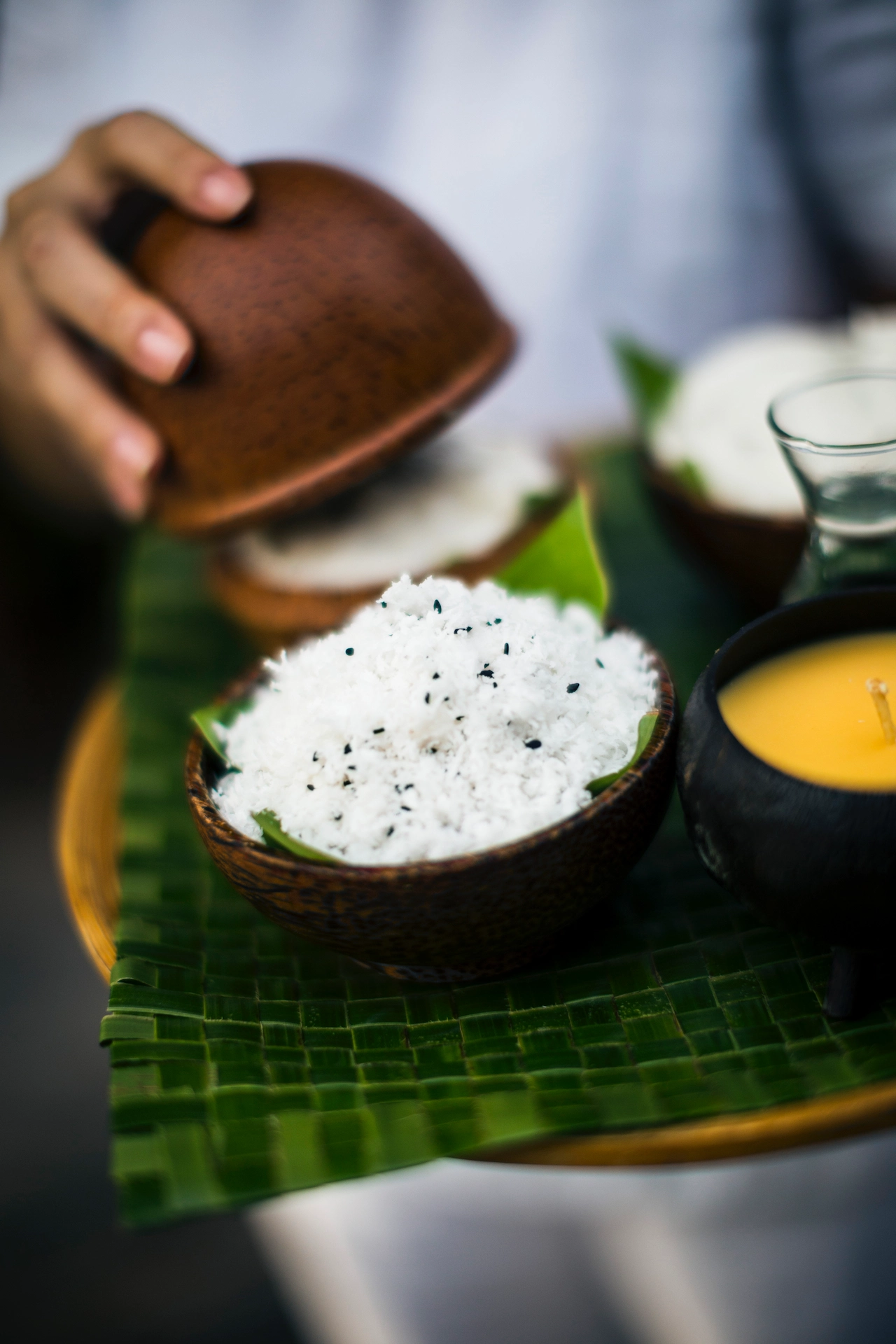
 CUISINE
 HISTORY
 JOURNALS
 PEOPLE
 CONSERVATION
Was Kerala Once Part of Africa?

It sounds improbable at first. That Kerala, with its coconut palms and monsoon rains, was once physically attached to Africa. Yet geology tells us that this is not imagination but memory written in stone. More than 180 million years ago, the land we now call India was part of a vast southern supercontinent known as Gondwana. Africa, Antarctica, Australia, South America and the Indian subcontinent were fused together as one enormous landmass. Kerala was not a coastal state then. It was a fragment of a continent that touched what is now eastern Africa. Over time, Gondwana began to break apart. The section carrying India separated and started drifting northward. This moving block of crust is called the Indian Plate. It travelled across an ancient ocean for millions of years, carrying with it some of the oldest rocks found today in the Western Ghats. Around 50 million years ago, the Indian Plate collided with Eurasia. The force of that impact lifted the earth’s crust upward and gave birth to the Himalayas. These mountains are still rising today. The collision also created the Tibetan Plateau and permanently altered climate systems across Asia. The strengthened monsoon that now defines Kerala’s heavy rainfall patterns is partly a consequence of those towering northern mountains blocking and redirecting atmospheric currents. But Kerala’s own mountains tell an older story. The Western Ghats were not formed by the Himalayan collision. Much of their geological foundation predates it. They were shaped by volcanic activity and tectonic processes linked to the breakup of Gondwana and the early drifting of the Indian Plate away from Africa. Some of the rock formations in Kerala are among the most ancient on the subcontinent. This is where the Palakkad Gap enters the story. If the Western Ghats form a near continuous wall along Kerala’s eastern edge, the Palakkad Gap is a broad natural break in that wall. Its origin lies not in the Himalayan collision but in deep structural weaknesses in the crust, likely dating back to the time when India was separating from Africa and Madagascar. Ancient fracture zones remained embedded in the land. Over millions of years, erosion and tectonic adjustments widened this weak corridor into the low mountain pass we see today. The gap changed more than geography. Because it is lower than the surrounding Ghats, it allows dry winds from Tamil Nadu to move into Kerala. This is why Palakkad is noticeably hotter and less rain soaked than Wayanad or Idukki. The Bharathapuzha River flows through this passage, and for centuries it has been a natural route for trade and migration between the western coast and the Tamil plains. So was Kerala part of Africa. Yes, in deep geological time. Did that drifting journey help shape its mountains. Yes, through ancient volcanic activity, tectonic fractures and the later climatic impact of the Himalayan collision. Even the Palakkad Gap can be traced back to scars left in the crust when continents pulled apart. When you stand in Kerala today, you stand on land that once touched Africa, travelled across oceans, collided with Asia, and rose into mountains. The hills, the gap in Palakkad, the monsoon rains and river valleys are all chapters of that long movement. The earth beneath us is not still. It is a story of separation, impact and slow transformation written over hundreds of millions of years.

